Do you want to know the absolute best tides for redfish, snook, and trout are for the flats, bays, and creeks?
If yes, this video tutorial below will show you the #1 factor to keep in mind when planning your next inshore fishing trip.

Plus, you’ll learn about the two most common mistakes anglers make that significantly decreases their odds of success when it comes to fishing the different tides.
And as you’ll see towards the end of the video, there are some tactics that can be used to catch inshore slams (redfish, trout, snook, flounder) even when fishing “bad” stages of the tide cycle.
But even during those “bad” tidal stages, you can still have some great fish catching if you know how to roll together all of the various factors and put yourself at the right spot for the given conditions.
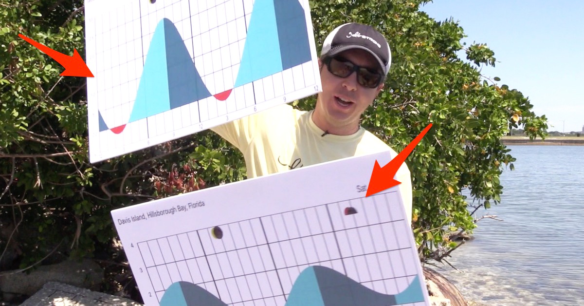
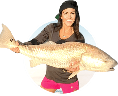
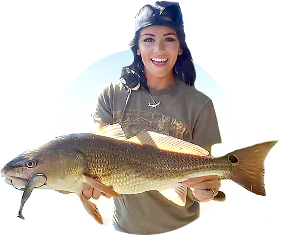
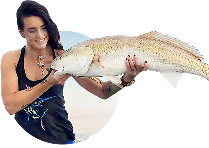
In fact, you’ll see a good slam (redfish, snook, and trout) caught during the exact tide period shown above in the tide tutorial video below.
Please watch the entire video on reading tide charts and don’t hesitate to ask me any questions in the comment area below.
Click the play button below now.
Best Tides For Redfish, Snook, & Trout (VIDEO)
➡ [Click here to learn more about the Insider Club]
Conclusion
Were you shocked by the answer for the best tide?
We’d be doing you a disservice if we said tides weren’t critical.
In fact, it is essential for all saltwater anglers to know how to effectively read a tide chart because tidal cycles play such a big role in the feeding activity of redfish, snook, and trout.
However… make sure to not just focus on the tide height because the current is an EXTREMELY important factor to consider.
In order to get consistently good at catching quality inshore fish (redfish, trout, snook, flounder, etc.), you’ll have to get good at predicting where the top feeding zones will be based on multiple important factors such as:
- Tides/Currents
- Season
- Wind direction/speed
- Water temperature
- Cloud cover
- Water clarity
And if you’re serious about increasing your ability to catch more redfish, snook, trout, flounder, and other inshore fish, then be sure to give our Insider Fishing Club a try.
Why?
Because it’s the only fishing club guaranteed to help you skyrocket your slam catching success without having to spend years of time and thousands of dollars on gas, tackle, etc having to learn it all the hard way.
➡ [Click here to learn more about the Insider Club]
Need More Inshore Fishing Spots?
Then you’ve got to see this private fishing club…
Qualifications:
- Do you love catching inshore fish like redfish, trout, snook, tarpon, black drum, and flounder?
- Are you coachable?
- Are you a positive person who is fun to be around?
- Can you afford to invest 27 pennies a day?
Then we want you in the club!

the dog kept me laughing, my Dog sits still, but i will apply like a sponge. We will see, its like military when taking an objective, adapt and overcome and change.
I have a yellow lab that looks and acts exactly the same!!!!
Awesome.
What is your favorite tide chart online to use for Tampa Bay?
One of my favorite videos. Otis is the star of this nugget for shore. I learned that fishing when time permits is better than researching when is best to go and missing out on days while inside making those calls. Simple life, simple rule. I’m sure Otis will same the same.
Great Vidieo I’ve always fished the fall of the tide now I have a new outlook
Thanks great video
Great video, and good info. Im new to the Salt Strong family. Been studying various videos for a week now. Gonna go out and try some of the methods I’ve been learning this weekend. No boat. Surf or wade fishing. Oh, and your pups is awesome.
Thanks so much for making time to post the nice comment!
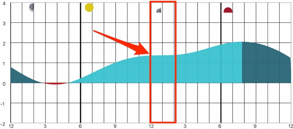
is the charts showing incoming and outgoing left to right?
This type of graph shows the water levels throughout the day. So it’s technically an Incoming tide as the line is going up, and an outgoing tide as the line is going down when looking from left to right at any given time.
I have a 30’ boat with twin engines and heading to backwaters is challenging. Would the same tide advise work for structure outside in the Gulf?
Yes, the same tide advice works for nearshore fishing too.
Please look at the Tide Charts for Destin for the next 2 Weeks.
None of these days resemble Anything Near what your Charts show in general.
The entire Gulf coast can have odd series in which there is only 1 high and 1 low in a 24 hour period. The fish still have to eat, so don’t skip those days simply because the current flow is not going to be very strong.