
Smart Fishing Spots has quickly become one of the fastest growing fishing apps in the country. With new map layers and fish-finding shortcuts being added constantly, there are a bunch of things you might not know about this app.
So, what is it about this app that Salt Strong Members are enjoying? Take a closer look at the video below and see Smart Fishing Spots is exposed!
Smart Fishing Spots EXPOSED!
➡️ Already a Salt Strong Member? Click here to use Smart Fishing Spots!
➡️ Click here to get unlimited access to Smart Fishing Spots!
Smart Fishing Spots is Different Than Any Other Fishing App
Here are the 10 special features of this proprietary fishing app you might not know:
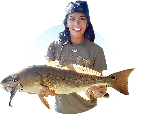
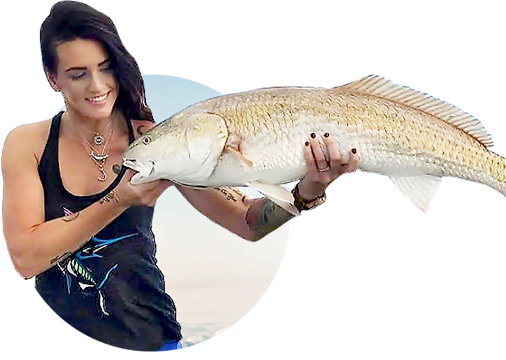
#1 – Private Catch Log: The system automatically creates a private and personalized catch log for you (and can start to give you recommendations based on your past trips – you can even upload old pics)
#2 – Private Waypoints
#3 – Smart spots are all hand-picked by pros – then we use AI and machine learning to have certain spots show up on certain days, tides, etc
#4 Proprietary Oyster Bar Layers
#5 Proprietary 1/2 foot contour lines
#6 – 4k Satellite Map Layer
#7- 3D Underwater Shaded Relief (inshore, nearshore, and offshore)
#8 – Public Land Layer (revealing every land-based fishing spot)
#9 – Proprietary Strike score. Removes the guesswork on WHEN to go fishing
#10 – Proprietary Feeding level projections for every hour (tells you the best hour to get tight lines)
➡️ To get access to Smart Fishing Spots, click here!
Get Involved with a Passionate Community of Inshore Anglers!
We love sharing fishing tips and developing tools to help anglers catch more fish faster, but there’s more to Salt Strong than that. We’re a community of people who are passionate about inshore fishing.
In our Community Feed, Members are able to share what’s working in their local areas, celebrate successes, and get help from Coaches, Staff, and fellow Members.
Better yet, it’s a positive environment where you won’t find the abuse, shame, and language that plagues so many public groups.
If face-to-face relationships are what you crave, our local Chapters are a great place to meet new friends, hear from local guides and guest speakers, connect on conservation efforts, and of course, get even more local intel to improve your fishing success.
We’re constantly working with local Salt Strong Members to create new Chapters and unite inshore anglers around the Gulf of Mexico and all the way up the Atlantic coast!
Become a Salt Strong Member today to get access to our Community Feed and connect with a local Chapter!

Question.. lm new to fishing and looking for some saltwater fishing locations in the Delray Beach area
Thanks for this info! There is a lot of information to process on the Smart Spots app and this video was tremendously helpful.
One of the best videos you have produced. You guys are awesome. I’m going to keep watching this one until I master the use of all the options. Mind blowing.
Thank you, Lawrence! We appreciate you.
Joe outstanding video and the information is awesome …… I’m in hopes that being an insider salt strong member that I do have the smart fishing app already …. I thought for sure that I had it because I could pull up lots of the information you spoke about and have visualized the areas in which I fish and it does in fact show much of the information you spoke about …. I am just not all that savvy with computers and iPhones therefore it is sometimes difficult for me to get the things I look for and want to see and utilize…..
Also week ago week I got the opportunity to get back out in the water and first time for the new boat and myself being on the water due to medical issues….. However, I’ve never seen the water so dirty and brown down in St Augustine inshore and the Inter coastal just bad fishing conditions …. However, not being able to get out there for three years and back in the water it didn’t matter as we still had fun and even managed to catch h a few fish ….. As soon as I get the pictures and the video from my fishing partner I will post and post my profile photo as well … Go to be back fishing and on the water…… !
I do enjoy the app. It would be nice to have it find some water deeper than 2 feet that is good to try as well. I fish from a boat and need at least 1 foot of water to not get stuck. The few places I have found that I can get to have provided fish.
Awesome video!!! Quick and to the point, loved it!! Love the Smart Spots fishing app too!
We appreciate you, Dallas!
Awesome stuff Joe, thanks SS team for all you do !
Thank you, Stan!
why is there a difference between the chart maps depth and the actual depth. Why is the tide and time not considered, or how do I use this properly. Love the app.
Hey William!
Are you referring to the contour lines or marine charts? Either way, they are static (which is standard even with the most expensive apps and units). Marine charts always report the depth at low tide (to prevent getting stuck) and the contour lines report an average depth. So the tide is not considered with these numbers. These numbers are more for finding relative depth changes. Hope that helps.
Smart fishing spots has awesome information and getting better every day. Stay safe.
Thank you, Edgar!
I am confused on the Private Catch Log. If I am on the water, land a fish, post immediately it uploads all the data? Or, can I make sure my location settings are on, take a picture at the time of the catch, and when I make the post after i get home it will load the data and the spot?
You nailed it, James. It’s all about the location turned on. We uploaded pictures from 8 years ago on our phone and it instantly knew the exact spot, tide, wind, temp, etc. Pretty awesome! We’ve had some members upload over 1,000 old pictures (assuming location was turned on) and it maps out all of it for you (all private)
Thanks, great feature!
Pa-POW! Thanks James
That answered my question, as well @Joesph Simonds. I was confused about how it generated location and data. I did not want to use the pin point filter while posting a fishing report. enough people already know about my spots! LOL …