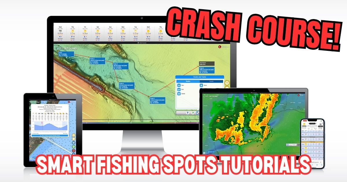
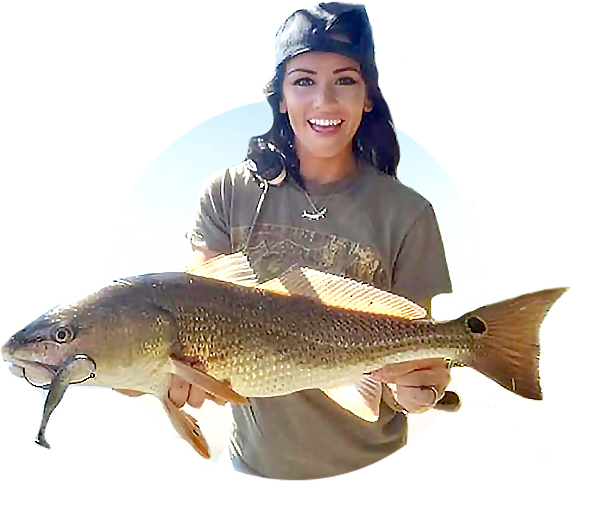
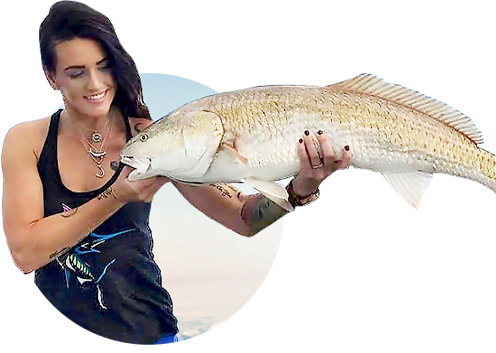
Welcome to Smart Fishing Spots!
The following videos will help guide you through how to effectively use the Smart Fishing Spots software.
Here are the topics that will be covered (you can click on a specific topic below to go straight to the video):
Introduction:
(Click On Any Of the Links Below to JUMP to the video)
Map Layers:
- Smart Spots Layer
- Ocean Current Layer
- Public Lands Layer
- 1 Foot Contours Layer
- Oysters Layer
- Seagrass Layer
- Artificial Reef Layer
- Boat Ramp Layer
- Kayak Launch Layer
- Shaded Relief Layer
- Marine Chart Layer
- Sea Surface Temperature Layer
- Water Temperature Layer
- Satellite Imagery Layer
Tides & Weather:
Tools:
- My Spots
- Waypoints
- Finding Current Location
- Distance Measurement
- Compass
- Creating Tracks
- GPS Settings (Degrees & Decimal)
- Insider Reports & Spot Dissections
Misc:
Smart Fishing Spots Overview
 Back To Top Of Page
How To Search For A Location
How To Check The Weather
Tide Stations & Strike Score
Smart Spots Layer
Ocean Currents Layer
1 Foot Contours Layer
Public Lands Layer
Oysters Layer
Seagrass Layer
Artificial Reef Layer
Boat Ramp Layer
Kayak Launch Spots Layer
Shaded Relief Layer
Marine Chart Layer
Note: Here’s a Marine Chart PDF that includes descriptions for the various icons in the Marine Chart layer in case needed.

Does anyone know if it’s possible to pull up tide data on previous dates not listed when you select the tide data. I’m trying to locate the tide data from a week ago. Thank you
This app is 10 times less user friendly than the older version
Tide was on the rise july4 morning at pascagoula point at public park. Walked out to the rock point beach an fished with shrimp and squid bait. Caught nothing but cats! Disappointed! Boat ramp was a problem, constant boat traffic, an rude boaters.lesson learned,dont beach fish during a major holiday! Over all beautiful day!
What does this number mean? =1017
It is located in the “tides” window at the bottom of the weather section.
Sometimes there is an up or down arrow in front of it.
That is the barometric pressure level… falling is best, and rising is second best.
I have a google map that I created for myself before discovering this app. Is there a way for me to upload that map?
It has all the mile markers from Port Aransas down through Padre Island National Seashore which will help me navigate this app better as I search for potential surf fishing spots.
Hey Carlos, I’m so sorry for taking this long to respond. To get your waypoints into this system, you’ll need to export them into a KML file from google. And then convert it to GPX file from an online converter. Here’s one that our web crew recommends: https://www.gpsvisualizer.com/convert_input
I just joined. How do I use the app for surf fishing? I understand weather changes structure and current. I want to know how to get some clues on being able to read the beach a bit better to identify the potential for structures like holes and guts. Can you guys point me to any content that would help me?
Welcome to the Insider Club Carlos! The maps can be most helpful for surf fishing by allowing you to find any rocks or permanent structure that may be in the surf zone you’re considering… if rocks, pilings, etc are present, that’s almost always going to be a good 90/10 zone.
Otherwise, the reading of surf spots has to be done on location via your eyes given how frequently the sand bars can shift. Here’s a link to helpful lessons on surf fishing in case you haven’t yet seen them: https://community.saltstrong.com/search?type=article&query=surf+fishing
Great, thank you. Can you tell me which layers to use to help identify the structure?
1) Is there a layer that’s updated more often than others that would show recently new structure?
2) Or, is there a lesson using layers specific to identifying structure in the surf that I can watch?
3) Or maybe something that can show me how to make assumptions based off some of the layers like maybe current, temps, etc.?
4) Knowing when and how often each layer is updated I think might be useful. Is that something I have access to?
The app and the community is awesome, I’m learning how to navigate the wealth of knowledge I now have access to. There’s just so much available it’s almost overwhelming 😜
Sorry, I should have clicked you link first before asking all those questions. I’ll check some of these out today. However, I’d gladly take some help with my questions as well if they aren’t easy to determine in these lessons
Does the map of smart spots Dave a way to function as a moving gps so we can follow along in real time our location Thsnks
Yes, all you have to do is turn on the Current location feature which shows an icon on the screen of your location on the map… it of course moves along as you are moving similar to a boat’s gps.
I am having a problem opening my salt strong app on my tablet. It wants me to sign up for a new account. It opens on my IPhone with no problem. I’ve used it on my tablet in the past.
For your tablet, you should have to log in once on the app, and it’ll remember you from them on.
Note: Please know that you can also use the online version too which is linked here: https://sfs.saltstrong.com/
What are the green outlined areas?
If you’re referring to the tide chart section, the vertical bars (green and blue) show the projected feeding level throughout the day on an hourly basis. The height of the bar is most important (color changes are merely to highlight changes in the height).
Let me know if you were referring to something else.
What are the blue bars on the tide chart
The vertical bars on the tide chart show the projected feeding level throughout the day on an hourly basis. The height of the bar is most important (color changes are merely to highlight changes in the height).