How To Use GOOGLE MAPS To Catch More Fish
- By: Wyatt Parcel
- on
- Found In: Fishing Tips, Inshore Fishing, Weekly Newsletter: 4-25-21
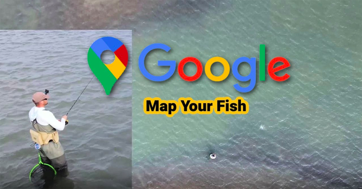
You use Google Maps to find just about everything, right?
So why aren’t you using this free app to find more fish?
In this video, you’ll learn a sneaky tip for using Google Maps to find exactly where fish are feeding.
I recently used this tip to catch a nice trout on topwater that I would’ve otherwise missed.
See what this tip is and how you can use it in the video below.
Using Google Maps To Get More Strikes [VIDEO]

There is a ton of valuable information in satellite imagery.
If you pull up your location on Google Maps while you are on the water, you can see exactly where you are fishing.
The directional cone will show you where you are in relation to specific depths that you can determine by seeing the differentiation in colors.
You want your cone to be in the zone: the strike zone!
Make sure your directional cone is in the right position to fish the edge of a channel, a rock pile, or an oyster bed.
This will allow you to work your bait effectively across a specific depth change that the fish are feeding in.
The Location Feature In Action
Here’s how I caught some nice trout using the “show your location” feature in satellite view:
I was kayak fishing and drifting along the side of a small island.
While fishing the point, I worked my bait over the channel where I noted the channel drop off on Google Maps.
Since I knew exactly where to cast and how to effectively fish in that zone, I landed a nice trout!
Another thing I do to increase strikes is I’m constantly checking my position and directional cone as a reference of where I should be fishing and what location I need to be casting to.
Conclusion
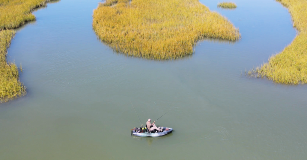
If you’ve never fished a specific area before, Google it!
The information you can get from a satellite image of a fishing spot will definitely increase your chances of catching more fish.
You just have to know how to use Google Maps effectively and what to look for on the water.
If you want to learn more about satellite maps, I highly recommend checking out our Spots Mastery Course that focuses on pre-planning your trip and knowing which spots to fish at certain times of the year, which is FREE to all of our Insider Club members.
Have you used google maps to catch more fish?
Let me know down in the comments!
And if you know someone that needs to learn about fishing with google maps, please TAG or SHARE this with them!
P.S. Want access to our best fishing spots and tips, plus discounts to our online tackle store? Click here to join us in the Insider Club!
Related articles:
Related categories:
STOP WASTING TIME ON THE WATER!
Do what the “SMART ANGLERS” are doing and join the Insider Club.
Here’s what you’ll receive today when you join:
- Weekly fishing reports and TRENDS revealing exactly where you should fish every trip
- Weekly “spot dissection” videos that walk you through all the best spots in your area
- Exclusive fishing tips from the PROS you can’t find anywhere else
- Everything you need to start catching fish more consistently (regardless if you fish out of a boat, kayak, or land).


Wyatt,
Your info is very valuable. I hate to be “Negative Nelly”. Your videos have too much echo in the background. It makes it difficult for a hard of hearing fella like myself to follow.
It’s funny because I’ve been using Google Maps for quite some time
Hey Wyatt! Great tip brother! I’ll be honest, I started doing this a few months ago and it’s significantly helped my fishing game. Google maps is great, but I just wanted to throw out another suggestion. I use the app Fishing Points, which opens up to show a google earth type version of what you see, but then it’s also a fishing log. So when I find success in a certain location I can immediately tag that spot and have it as a reference to go back to in the future. It’s pretty cool 🙂 Plus it shows the weather, tide, moon phase, and other attributes. It even allows me to track where I kayaked or plan to kayak for that trip. Maybe it’d be something worth checking out and sharing with others? Have a blessed day my friend!
Wyatt is great , you can get a 25 minute lesson in three minutes, To the point and organized thoughts. Good Tip Wyatt on the phone in hand.
Thanks for the kind words Captain Bodie!! I try my best to keep it as concise as I can so you have more time to get out on the water and fish (but if you have more questions, I’m happy to elaborate further!)
Good info Wyatt. Thanks. The whole “cone” thing was new to me. I also take screenshots of images from Google’s best photo days and use those. I use the iPhotos markup pen to label/circle etc whatever might be of interest in the screenshot, a cut, point, depth change. etc. Even nerdier, I have a folder of these these types of photos that I use as my laptop background and they change every minute or two. That way I can waste time studying fishing spots when I should be working.
I used to do the same! Now I just drop pins on Google Maps!
Great tip as always Wyatt. Speaking for myself, I fish in areas where cell signal is non-existent. So Google maps access for on the water reconnoitering is not is the cards. That is another reason why I cherish my purchase of Florida Marine Tracks. The satellite images are crips and are only limited by the platform you are running on. I use these images to not only upload my coordinates for a day’s fishing but to also look at similar areas while on the water and ensure I’m fishing the appropriate structures. I know there is no endorsement of specific brands or products, but I highly recommend these maps for those in similar circumstances and as a primary benefit of being able to navigate to areas in the safest manner possible. BTW, I’m not associated with the FMT team but sing their praises to all boaters and inshore anglers concerned about protecting their boats and upping their fishing game.
I’ve heard many good things about imagery and chip services like this! Rarely do I run too far from the ramp (some of the best fishing spots are passed up DAILY) so I’ve not been without cell service much when out on the water. Thanks for the suggestions!
Would like to check out the courses I paid for some years ago, and was assured by Joe that they were FOREVER, once I paid for it. Didn’t renew my membership this year, and discovered I was locked out of the coures that I had paid for FOREVER. Oh well live and learn.
Hey Jerry, you should still have access to any courses you purchased individually! The introductory courses that came with the membership might not be available to view, but any additional add-ons should be able to be viewed still.
Shoot me an email at wyatt@saltstrong.com if the problem persists!
Wyatt, thank you for the informative information. You and Tony are very detail oriented and produce high quality videos. I hope you and Tony could redo the instructional videos for surf/wade fishing and pompano fishing. I think the next step in this process, at least for me, would be to find the spots that I have tagged from Google and then download them to a GPS software package on my smartphone (evaluating various packages would make for an excellent video lesson.). I want to be able to use my phone to take me to the coordinates. Can you evaluate various GPS software packages on smartphones? I don’t have a kayak or boat so people like me (poor people) still wade/surf/pier fish and would get maximum benefit from locking down coordinates from Google and downloading them to a GPS locator on my phone. There was a video on Salt Strong by someone but it was extremely hard to follow.
We can definitely create a review for different GPS packages! Stay tuned, we’ll get working on it ASAP!
Hi Steven! Try using the app Fishing Points! This may be exactly what you’re looking for. It comes with both a free or paid version.
Thanks Wyatt! I’ll try that out next time on the water. Which Google App are you using? I didn’t realize how manyG Apps there are!
This is the one I use!
https://apps.apple.com/us/app/google-maps-transit-food/id585027354
Thanks for taking the time to clarify! Very Helpful!
what about fresh water lakes, with google maps, etc ?
Eugene Mast