Use this super quick hack to find fishing hotspots in dirty water!!
Our NEW Smart Fishing Spots App has completely changed the way we pre-plan our trips and move around to different spots when out on the water.
Check out this neat trick using our app to find great spots in dirty water!
Quick Hack To Find Fishing Hotspots [VIDEO]
 Join the Insider Club TODAY and get This App for FREE
Smart Fishing Spots is available to all Insider Members for FREE once they join the club.
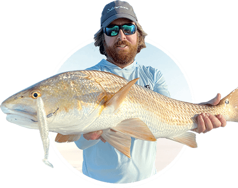
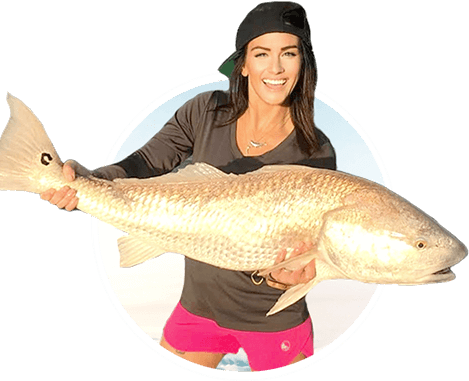
Some areas we target redfish, trout and flounder in are filled with dirty or muddy water which can be hard to plan for when just looking at a map.
Unless you are constantly fishing these specific areas, it can be tough to predict what is under the surface until you are out on the water.
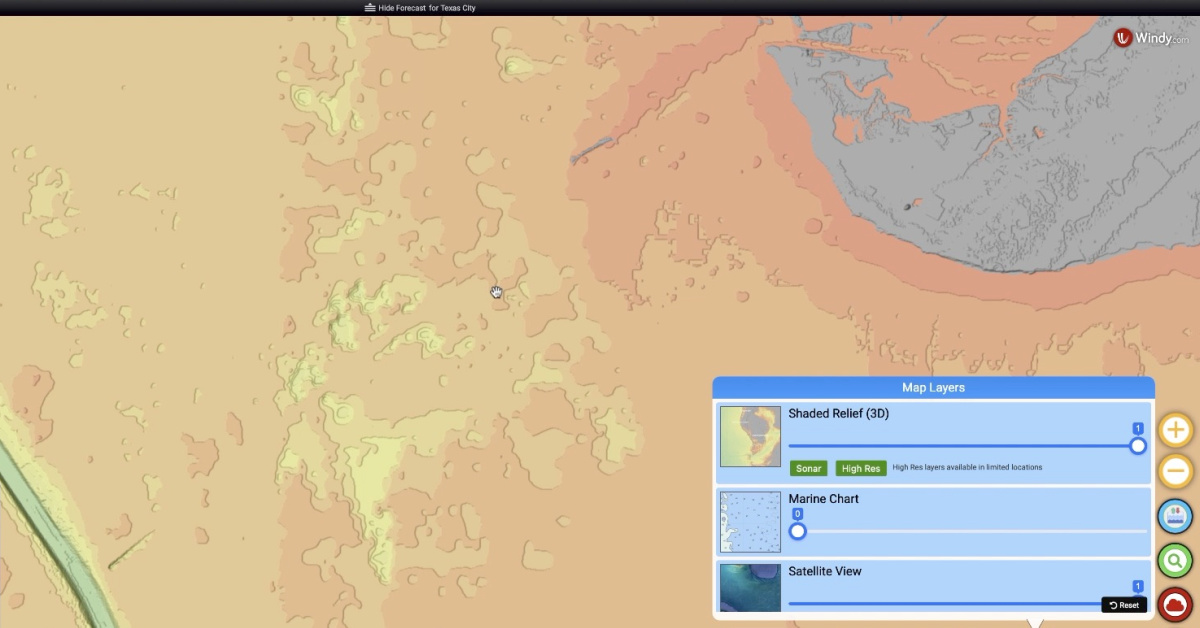
Smart Fishing Spots lets you view a 3D Shaded Relief Layer, Marine Charts, and Satellite Views of the areas you want to fish.
Marine Charts are incredibly useful to look for shallow enough areas that may hold predatory fish.
If you are looking to throw artificial lures out over oyster bars or seagrass, you will want to use the Shaded Relief Layer on the map.
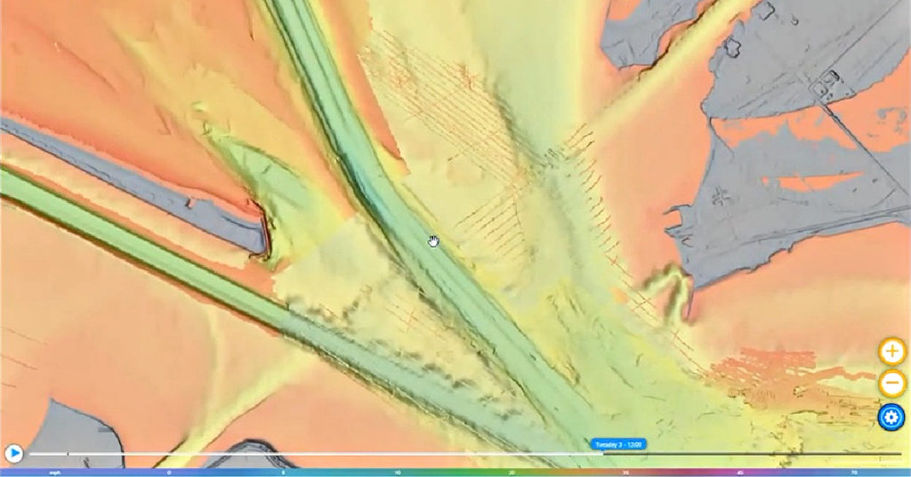
Moreover, our app gives you the ability to zoom into these areas and look at the bottom contour of areas.
You are able to see the cuts and holes that make up the bottom of bays or flats.
With this software, you are able to set a course for your drift or trip so that you cover the high-profile areas and avoid the dead zones that are not ideal for holding predatory fish.
Bouncing jigheads with paddletails or the Power Prawn U.S.A. will no doubt trigger strikes from hungry fish.
Now you are able to find isolated holes and ledges on the bottom, especially in areas with dirty water where you can’t see to the bottom.
Join the Insider Club TODAY and get This App for FREE
[optin-monster slug=”wcrcrc7d6ih5k29wooi4″ followrules=”true”]
Conclusion
If you haven’t already joined the Insider Club, what are you waiting for?!?!
This software will put you in ideal fishing hotspots and gives you the ability to plan everything in advance.
There’s no need to scout new fishing spots anymore!!
Join the Insider Club TODAY and get This App for FREE
Do you have any more questions about this super quick hack to find fishing hotspots in dirty water?
Let me know your questions and comments below!!
And if you know someone who wants to learn more about this quick hack to find fishing hotspots in dirty water, please TAG or SHARE this with them!
P.S. Want access to our best fishing spots and tips, plus discounts to our online tackle store? Click here to join us in the Insider Club!
Related Articles:

Is there any possibility of providing a legend for the Shaded Relief?
The shaded relief is just a way to visually see depth changes. Assuming you want to see the actual depths of those areas, you’ll just need to turn on the marine chart layer.
If you were referring to anything that’s not depth related, please let me know.
Where do I find the Smart Fishing Spots app. Not in the App Store
Is there a legend to define what the depth range is for each shading color?
Also, my experience as of today for the coastline of north Pasco/south Hernando Counties FL , I see only shading, no detail like your example in TX. I also looked at Ozello FL, in Citrus County, which has lots of potholes and also no detail just areawide shading, mostly just the dark color for very shallow. Are those areas still loading or is it lack of hi-res there?
Maybe me being new to it, but so far none of the videos for the app have focused on features that have not been very useful for my areas.
Whenever I zoom beyond a high level macro view the map reverts to the satellite image. It does this for shaded relief and the marine charts view. Desktop and mobile apps. NE Florida region.
I see demos of these awesome use cases on SS videos, but for me it has been nothing like that, and frankly the shaded relief maps are fairly useless at the zoom levels I see before it reverts to satellite. Is this a case of NE Florida not yet fully implemented? I know in the past I could zoom in great details in the marine charts view.
Hopefully this is because you have not gotten to NE Florida yet. Not trying to be too negative, but it is frustrating to see these awesome demos only to realize that the technology is not available where I need it. Anyway, looking forward to what is next.
Most of the tiles are loaded for very populated areas, but some zones are still loading in… they will be all finished loading in the next few weeks! The Hi-Res imagery contains a lot of data tiles, and they take quite a bit of time to load.
does this include NYC (Western Sound Area)?
I have been experiencing the same thing for the Chesapeake Bay area and from a trip I took to Nags Head NC a couple weeks ago. But since a couple weeks ago, I’m seeing details start to fill in that weren’t available previously. Sonar still comes up short for me and doesn’t yet measure up to the level of close in detail I get on smart fishing tides. Still waiting on that. But having said that, where it exists, the addition of shaded relief views is a huge improvement.
Do you have shaded relief for the keys? if so, what areas and how far out. I’m in Little Torch Key.
Yes! There is shaded relief in the keys! Not sure if I understand your question entirely, but it goes out way offshore, out to the middle of the Gulf of Mexico basically… or were you asking about inshore areas?