Texas is a state with a strong offshore fishery. Much of that is based on the creation of artificial reefs.
Because of the typical water conditions around the Texas coast, naturally-occurring coral reefs do not thrive in this area.

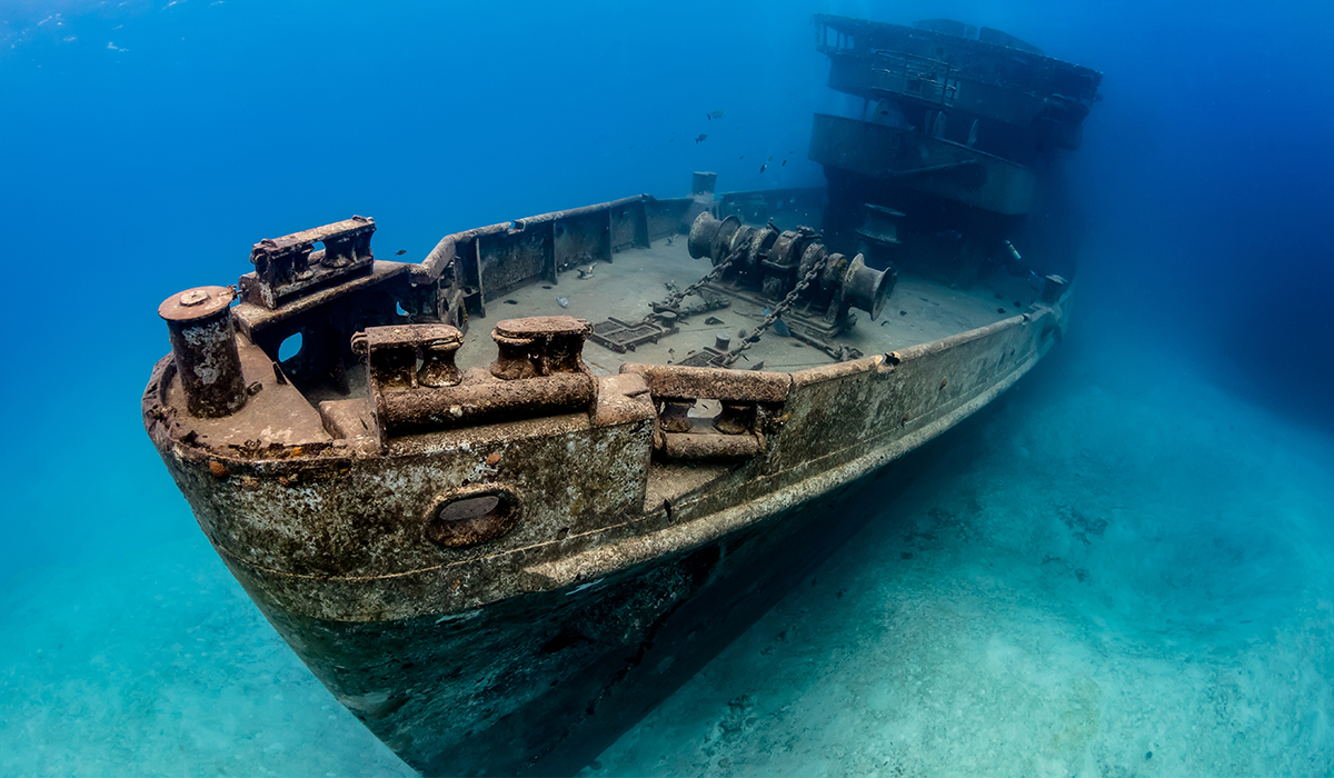
Because of this, the Coastal Fisheries Division of the Texas Parks and Wildlife Department created the Texas Artificial Reefs Program. This program focuses on recycling oil rig platforms and old ships into artificial reefs by sinking them off the Texas coast.
Today, there are hundreds of artificial reefs and federal platforms that provide an insane fishery for Texas offshore anglers.
Learn more about the Insider Fishing Club
The Texas Artificial Reefs Program
The Texas artificial reef program was created by the Texas Parks and Wildlife Department Coastal Fisheries Division in 1990.
The goal of the program is to promote, develop, maintain, monitor and enhance the artificial reef potential of Texas offshore waters.
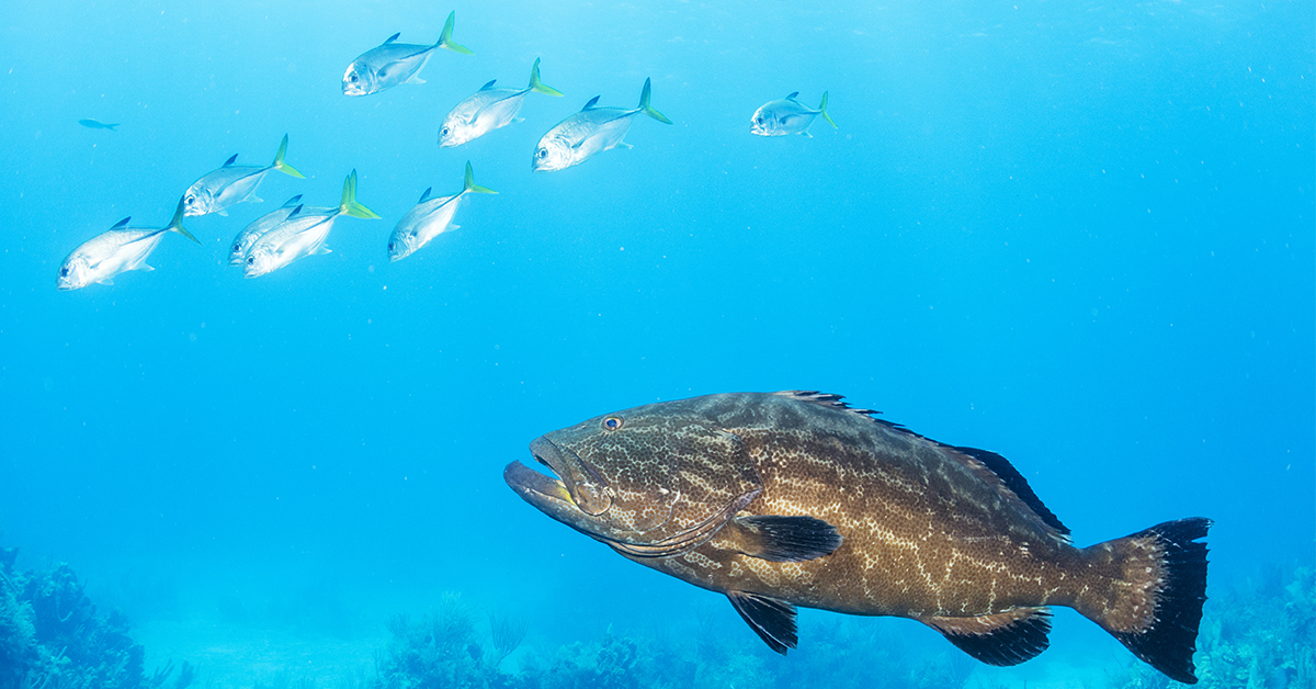
Artificial reefs are vital for supporting the offshore fishery in Texas – which experiences colder water than other parts of the Gulf of Mexico. The colder water and sediments in the waters in Texas are not conducive to natural coral reefs.
The artificial reefs are the prime source of bottom fishing opportunities for Texas anglers.
The Texas Artificial Reefs Program has partnered with conservation organizations, corporations, communities and sportsmen to create and maintain more than 4,000 acres of artificial reef structures within Texas Gulf waters.
They do this by sinking and recycling materials to create great bottom structure. They focus on this by sinking:
- Decommissioned drilling rigs in the Rigs-to-Reefs Program.
- Highway bridge materials and other sources of concrete and heavy-gauge steel in the Nearshore Reefing Program.
- Large marine vessels in the Ships-to-Reefs Program.
All materials must meet federal and state guidelines for environmental safety and be free of contaminants.
Reefs created from oil rigs and larger ships are usually created 30 miles or more offshore.
The program also features many nearshore reefs, with seven within nine miles of the coast.
So how do you find these Texas artificial reefs?
Learn more about the Insider Fishing Club
Texas Artificial Reefs Interactive Mapping Application (GPS Numbers)
The Texas Parks and Wildlife Department Coastal Fisheries Division created an online application to help anglers locate and get background information on the reef sites off the Texas coast.
The interactive map shows you where the reef is located on the map using a star marker.
Clicking on the star marker gives you all the information you need to fish the reef, including the reef name, the depth of the structure, the distance to the nearest port and more.
See the example below to see the information you get from the Interactive Mapping App.
- Reef Name: Freeport Liberty Ship Reef Site (GA-A-22)
- COE Permit: SWG-1991-01749
- COE Expiration: 12/31/2018
- Water Depth (ft): 102
- Depth to Structure (ft): 60
- Distance from Port (nm): 32.04
- Port: Freeport
- Latitude: 28.596247
- Longitude: -94.811554
- Record ID: 24
Each reef point on the app features information about the materials used to create the reef and any documents or images associated with the reef as well.
CLICK HERE TO ACCESS THE TEXAS ARTIFICIAL REEFS INTERACTIVE MAPPING APPLICATION
In addition to the Texas Artificial Reefs Interactive Mapping Application, you can also learn more about the program and how the reefs are created by clicking here:
CLICK HERE TO SEE THE ARTIFICIAL REEF PROGRAM OVERVIEW PAGE
If you have any sources for finding additional reefs off the coast of Texas, please let us know in the comments at the bottom of the page.
Learn more about the Insider Fishing Club
Conclusion
Finding offshore fishing spots on your own can be difficult.
Accessing resources like the Texas Artificial Reefs Interactive Mapping Application makes it easier for you to know where to start.
These artificial reefs hold great fish year round. Fishing them is guaranteed to keep a bend in your rod and will also help you find spots of your own.
If you have any questions about this article or suggestions about finding GPS coordinates in Louisiana, let us know in the comments.
Tight Lines!
Related Posts:
1. The GPS Coordinates for Every Artificial Reef in Louisiana
2. The GPS Coordinates Of Every Public Artificial Reef In Florida
3. How to Vent Snapper, Grouper and Bottom Fish [With Capt. Dylan Hubbard]
Then you’ve got to see this private fishing club! Here’s what you’ll receive today:Do You Want To Quickly Find New Fishing Spots In Your Area?
Click here to join today.

What’s a good spot for snapper less than 40 miles out?
Any structure offshore will usually have some snapper around it. There are rigs about 5 miles offshore we have had success on and in corpus there are rigs that are about a mile and a half offshore that produce snapper year round. Look for bait and there is a good chance you’ll find what you’re looking for.
How do I know when it is legal to fish those structures. What does COE mean and what does it mean when it has expired?
Are the artificial reef coordinates in GPS form because I can not put them in my boat GPS system